CIP Landscape


The restoration of northern bobwhite, as defined by the National Bobwhite Conservation Initiative, requires the creation and maintenance of grassland and early successional cover on millions of acres of private lands. Since the 1985 Food and Securities Act, billions of public dollars are expended annually for conservation practices with little assessment regarding what drives conservation delivery success, what extent those contracts generate conservation outcomes, and most importantly, how programs change landowner behaviors beyond their contractual lifespan.

The goal of CIP landscape is to create an adaptive framework enabling state wildlife agencies and partners to evaluate conservation programs at landscape scales, so they may learn from current efforts, plan efficient conservation delivery strategies, and implement effective grassland and early successional cover to increase abundance of bobwhite and other grassland and early successional fauna.
Protocol

NBGI CIP used to collect habitat data within NBGI Focal Areas.

ARU Deployment

Download these instruction to learn how to deploy an ARU monitoring device.

Landowner Permissions

View this document to learn about ARU monitoring device placement.

Are you participating in the NBGI Coordinated Implementation Program and have Habitat Data?

WE WANT IT!

What do I do if I find an Acustic Reader?

song meter mini

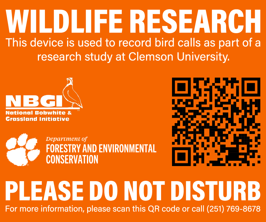
We use a combination of in-person counts and acoustic recording units (ARUs) to study Northern Bobwhite and other songbirds across several counties in various states. ARUs are much like trail cameras except they record sounds of birds calling during the first few hours following sunrise. We then use computers to identify the bird species and calling rates from each recording. This can help us produce more accurate estimates of bird populations.

We place ARUs along public right of ways or private lands with permission from the proper authorities or property owner. If you found one of these units, please do not disturb it. We will return to collect it within a few weeks to process sound files. If the unit is in your way or you would like it removed, please call the number on the unit and tell us the state, county, and unit number and we will remove it within 24-48 hours.

Training

Proper training is necessary to ensure data is collected consistently among partners and years. Additional training material is in development. Spring point counts follow the same protocol as the CIP focal area scale, but at ARU locations. Ground verification assessments for vegetation follow the same process as focal area habitat assessments, but for individual patches at opportunistic locations across the county. Please review current materials below.

Introduction to the CIP
Identifying Units
Collecting Data for Regular Cover
Habitat Characteristics
Learning the Classification System

NBGI CIP Habitat Monitoring Training Manual


Identifying Protective Cover

How to identify protective cover when delineating and classifying habitat.

Minimum Mapping Units

Discussion on the minimum unit to map when delineating habitat.

Delineating Regular Cover

Definitions and thresholds for delineating and classifying habitat.


Forest and Shrub Questions

Working through forest and shrub questions on the observer data sheet.

Measuring Bare Ground

How to determine the amount of bare ground available. Also seen in the "Habitat Characteristics" training module.

Characteristics of Protective Cover

Description of protective cover. Also seen in the "Habitat Characteristics" training module.